freebird5825
Give me a museum and I'll fill it. (Picasso) Give me a forum ...
The algorithm is well tested.Let me guess - you have done this before?

The algorithm is well tested.Let me guess - you have done this before?
It's 79F right now in my kitchen, but the 24 hour low was 72F. It's mid afternoon of a beautiful sunny day here in Hawaii.
 Later, I took the mutt for a walk at the reservoir. I saw people fishing, boating, jogging and lot's of picnic's. But with warm weather comes rain the next couple of days.
At one time that was sort of my plan also. Just go south until someone thought the block heater cord hanging out of the grill of my car meant the car was electric. It's -20 now.Sigh. Low 18 F tonight, after that rain/snow, then snow, then rain/snow, and after that more rain/snow.
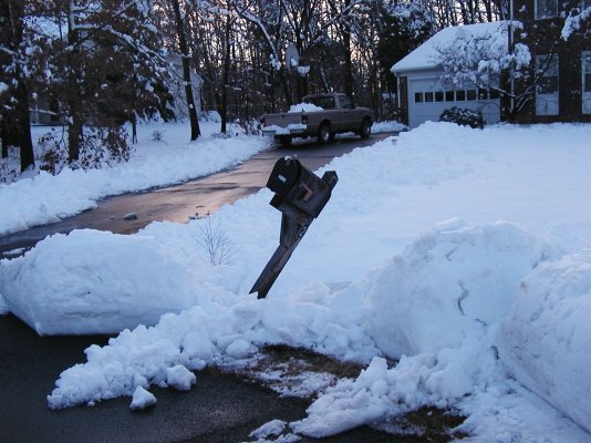
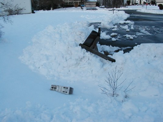
Now I remember why my original Retirement Plan was to put the snow thrower in the back of the pickup truck and drive south until people started asking what it was.
Where are you?It is 34 below back home right now.
Oddly, it is 34 above where I am right how in Texas.
Where are you?
It's minus 30 degrees C (-22 F) outside. With windchill, -45 C (-45 F).
Did I mention I'm moving?
Beautiful day here in Northern Illinois at 25 degrees and sunny. Waiting for the 18" of snow (maybe thundersnow), 50 mph winds, and 8-10 foot drifts that are supposed to begin tomorrow, followed by a nice cold snap.
Me too.Forecast for tonight and tomorrow in SW Ohio: sleet/snow/freezing rain.
Ran errands today.
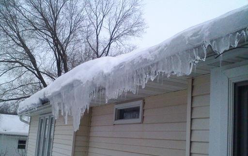
I hate ice.
Ruh roh....the bolded text is never good news at this latitude.
Areas of dense fog in the morning. Numerous rain showers and scattered thunderstorms in the morning...then widespread rain showers and scattered thunderstorms in the afternoon. Some thunderstorms may be severe with gusty winds and large hail in the afternoon. Visibility one quarter mile or less at times in the morning. Highs in the lower 70s. Southeast winds 15 to 20 mph shifting to the southwest 15 to 25 mph in the afternoon. Chance of precipitation near 100 percent.