Chuckanut
Give me a museum and I'll fill it. (Picasso) Give me a forum ...
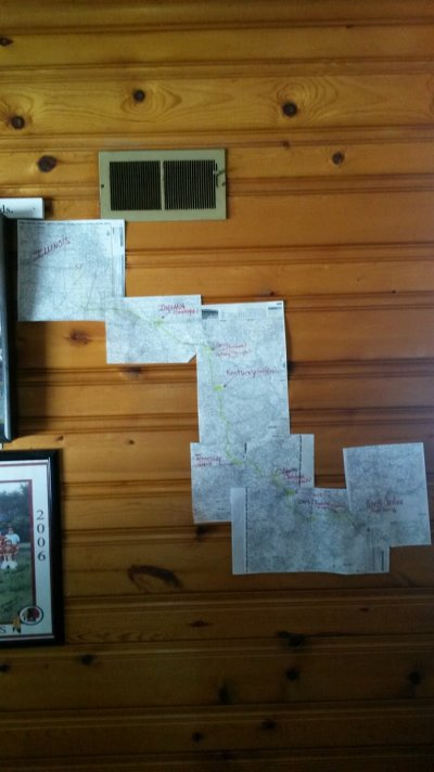
As much as I like and use online mapping apps, there are times when I want to spread out a physical map on the table and plot my route so as I can get a feel for the distance relationships between places. It's also nice to see what else is nearby and worth a stop.
Can anybody recommend a current USA Road Atlas that is accurate and easy to use? It would be nice if a state could be seen entirely on two pages, with detailed maps on other pages if necessary. Spiral bound would be nice but is not necessary.
Or maybe I should just bet a number of plain old ordinary maps, state by state and/or region by region??
What are your thoughts?
") It has the state maps and small insert maps of large cities. I prefer reading an atlas and planning a trip it.
It has the state maps and small insert maps of large cities. I prefer reading an atlas and planning a trip it.