ER_Hopeful
Recycles dryer sheets
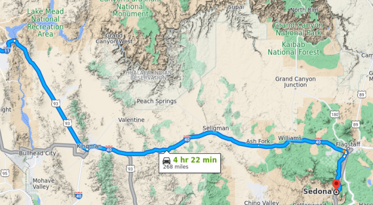
Doing the road trip in late Dec. if i want to break up the drive into two days, what would be a good mid point or stopping point? I've never been to any major AZ cities like Phoenix/Scottsdate/Tempe, only went to Page several years in a tour bus.
Phoenix seems to be just a big metro city so not too interested.
Phoenix seems to be just a big metro city so not too interested.