Ronstar
Moderator Emeritus
Thanks for the info. My undergraduate degree was in geography and my first couple jobs were with computer mapping companies. I have a Mac on order for February delivery. I will try to get that software. I guess I could manually do the same using my picture editing software, but you way looks great and sounds more fun.
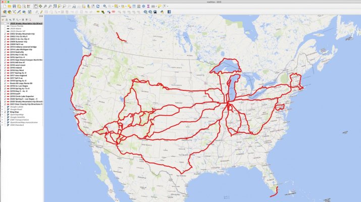
Another option - not as pretty as Ortelius, but more robust is Qgis. I take kml's out of my maps into QGIS to maintain a file of all of our road trips as separate layers. I just can't get it to make a pretty map.
")
