Debinnov a
Recycles dryer sheets
- Joined
- Nov 2, 2013
- Messages
- 238
Does anyone use any type of a road trip planner or app? We are planning a trip and I would like an application that will make it easier to split the trip into driving hours, finding hotels, points of interest, restaurants, etc.
Now I know I can do this all manually. I do use Trip Adviser a lot . But it would be nice to have an app where I can keep everything in one place.
The other option is just to go to AAA and get a triptick and start from there. Just curious as to how everyone else plans a road trip. Thanks!
Now I know I can do this all manually. I do use Trip Adviser a lot . But it would be nice to have an app where I can keep everything in one place.
The other option is just to go to AAA and get a triptick and start from there. Just curious as to how everyone else plans a road trip. Thanks!
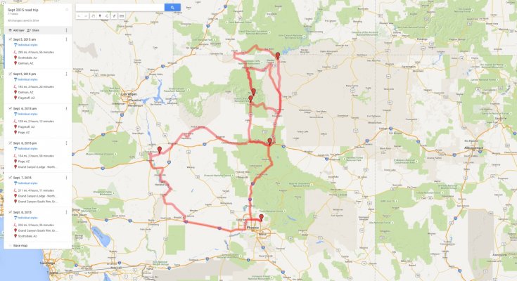
") Then I'll use googlemaps to sketch out a tentative plan. Then along the way I usually decide to take off on a two lane that goes more or less in the direction I intend to be heading.
Then I'll use googlemaps to sketch out a tentative plan. Then along the way I usually decide to take off on a two lane that goes more or less in the direction I intend to be heading. This usually does not end with me getting lost although it has led to some lengthy detours. This strategy (random two lanes) is more successful in states that have their county roads set up on a grid (thank you, Northwest Ordinance of 1787).