I have a 2008 Mercedes with the built-in GPS and cannot believe how difficult the interface was. You must dial the letters one by one, laboriously.
I greatly prefer my 10-year-old Garmin to any of the built-in GPSs in my cars!
Its easier to use than a phone as well, I've tried!
I greatly prefer my 10-year-old Garmin to any of the built-in GPSs in my cars!
Its easier to use than a phone as well, I've tried!
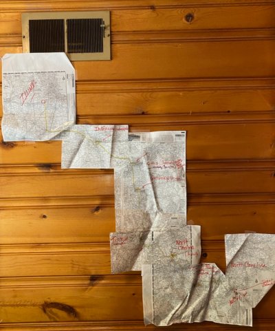
 . Goodness. I am getting a GPS unit for my husband when he will be off the grid for a week mountain biking next summer. I tell him it is so I can find his body. If there is a cell signal google maps is right there lol.
")