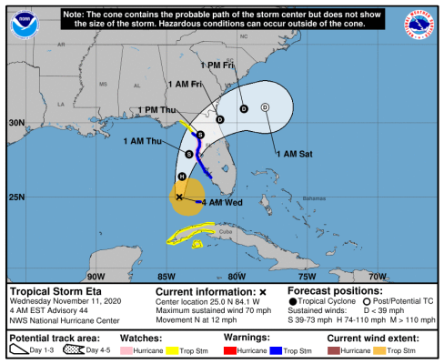
ETA eventually made landfall near Cedar Key, FL, which is just north of where our house is. We had a windy, rainy, night here last night. Woke up to lots of debris on the ground (branches, leaves), and rising water in the saltwater canal in our backyard. Got the debris cleaned up today. The canal continued to rise throughout most of the day, as the winds switched to the SW, but this evening it is starting to recede. We parked our truck up on a high ramp nearby yesterday, so no saltwater got to the truck. One of our neighbors apparently lost the roof on his garage, but otherwise the damage around town seems to be relatively minor. Could have been a lot worse for us! I know that Tampa/St. Pete, and some other areas to the south of us got a lot more rain and wind, and I heard that the storm surge into Tampa Bay resulted in flooding for quite a few homes in that area.

") ? Has to be a minimum of Cat 1 at landfall before we stirr.
? Has to be a minimum of Cat 1 at landfall before we stirr.