When I earned my Masters degree in meteorology and oceanography I had to take several courses in math, but not a single course in forecasting. Go figure. : )
Input measurements are still a major challange. Weather forecasting primarily involves measuring the current condition of the atmosphere and then predicting how these conditions will change for the duration of the forecast. One major limitation is our inability to accurately measure the conditions throughout the entire atmosphere.
There are approximately 11,000 weather stations around the world currently reporting surface weather observations on a regular basis. These stations record and report data at least every three hours, and many stations make hourly reports.
There are about 1,300 stations around the world that regularly launch radiosondes. Most of these stations launch radiosonde balloons twice per day, at midnight and noon Greenwich Standard Time. Some stations launch balloons only once per day. When severe weather is occurring or imminent, stations in the local area may launch radiosondes more frequently. Radiosondes can typically reach altitudes of approximately 100,000 feet before the balloons burst, which is about the middle of the stratosphere. This means that we are not able to routinely take measurements in the upper stratosphere, mesosphere or thermosphere.
There are about 4,000 ships around the world that voluntarily report weather observations to the World Meteorological Organization while they are at sea, and about 1,000 ships are reporting observations on any particular day. There are about 1,200 drifting buoys at various locations in the world ocean that report surface observations on a regular basis. Some stationary platforms such as oil drilling platforms also report weather observations. I was on a cruise several years ago, and the ship had a plaque hanging on a wall congratulating it for being one of the top reporting ships that year.
Both military and commercial aircraft may take and report weather observations while in flight. Over 3,000 aircraft currently make these reports, although the timing and locations of these reports can vary widely.
The newer environmental satellites are able to measure atmospheric soundings remotely from space, and this has greatly enhanced the ability to take measurements of the upper atmosphere, especially in remote areas, high latitude areas and over the oceans. The ability of satellites to measure soundings is limited in regions with extensive cloud cover. These include six geosynchronous satellites and three satellites in near-polar orbits.
Wind profilers and Doppler weather radar are able to provide increasing numbers of observations as the technology improves and as the number of units increases.
There are few measurements of ocean temperatures below the surface that get considered, even though ocean heat is the primary energy source for hurricanes.
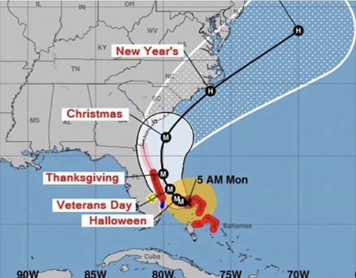
Although this sounds like a lot of weather reports, they are not distributed equally around the world. For example, the ocean covers about 70 percent of the globe, but we get very little data from ocean areas. We also get very little data from high latitude regions. Even in the middle latitudes, the distribution of these data collection points is far from uniform, so we get a lot of data from populated areas and much less data from sparsely populated areas. This is especially true for the relatively small number of stations that launch radiosondes instruments on a regular basis. This lack of information is one major limitation in the numerical weather forecasting process.
Visit this website for additional information about the Global Observing System of the World Meteorological Organization.
GOS_Components
In the United States, this information is coordinated by the National Oceanographic and Atmospheric Administration (NOAA), the National Centers for Environmental Prediction (NCEP), and the National Weather Service (NWS).
Then there are the challenges in building the numerical models, which is an entirely different topic.